Drone LIDAR Solutions
Previously, surveys in extremely vegetated areas were only carried out using sensors transported by airplane. As such, they were very limited and not very applicable to smaller areas, in addition to the high cost of this technology.
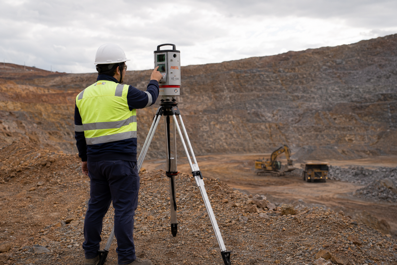
Now everything has changed, Laser Lidar is a possible reality for your enterprise, no matter the size, vegetation or obstacles of the terrain. The technology allows topographic data to be collected in areas of dense vegetation, with access restrictions, with extremely high safety and impressive accuracy.
The methodology promises and delivers on time savings and increased productivity, due to the autonomy of the aircraft and the automation of much of the data processing.