Agriculture

Mirante brings to agriculture the same technical expertise it applies in mining and heavy industry.

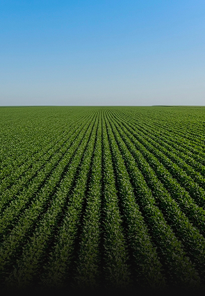
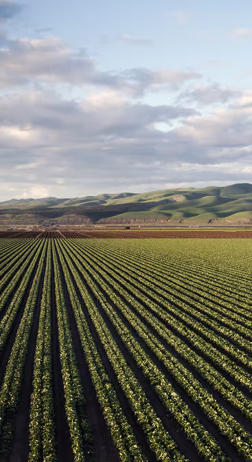
Modern agribusiness operates on a large scale, with precision, and under increasing regulatory pressure. Large farms require accurate georeferencing for land titling, detailed surveys for irrigation and drainage projects, and continuous monitoring of structures such as dams and reservoirs. At the same time, agricultural managers need reliable information on crop conditions, land use, and changes in productive areas.
Agricultura Img Solucoes

Solutions

Topographic Surveys for Agricultural Engineering Projects and Studies

From irrigation planning to land reform, agricultural projects depend on accurate topographic surveys.

  • Mirante conducts cadastral plane-altimetric surveys, LiDAR surveys, aerial photogrammetric surveys, topographic mapping, georeferencing of rural properties in accordance with INCRA and SIGEF requirements, and the demarcation and marking of property boundaries.
  • We also perform pre-excavation surveys to identify underground utilities, 3D scanning and modeling of equipment and structures, and reverse engineering of agricultural machinery and equipment.
Agricultural Monitoring and Operational Control

Accurate monitoring of production and land use is a competitive advantage in the management of large estates.

  • Mirante monitors the growth of agricultural crops, identifies planting failures, erosion, and waterlogging; conducts remote aerial inspections of farmland and production areas; performs volumetric measurements of silos and grain piles; monitors land use and land cover; and the monitoring of slopes, dams, and rural reservoirs.
  • We also monitor and assess the service life of reservoirs and dams affected by siltation, generating data to support investment decisions regarding water infrastructure.
Structural Integrity Monitoring and Agricultural Asset Management

Agricultural equipment and structures require dimensional control and wear monitoring to ensure operational efficiency and safety.

  • Mirante performs dimensional inspections of agricultural equipment and structures, wear inspections, alignment and leveling of wheel tracks, and georeferenced technical surveys of rural assets.

This registry serves as the foundation for structured maintenance programs and for document management at large properties.

Projects and Studies
  • For the planning and improvement of rural infrastructure, Mirante provides geometric designs for agricultural grading, internal roads, access roads, and driveways; geometric designs for irrigation and drainage; cartographic bases and digital models for integrated land management; land use and land cover studies; and mapping of Protected Area (APP) zones, legal reserves, and consolidated land use areas.

These projects and studies are prepared with technical rigor and in compliance with the industry’s regulatory requirements.

How We Operate

Our team conducts planimetric and aerial photogrammetric surveys of large areas, monitors rural geotechnical structures, and manages agricultural assets.

We combine cutting-edge technology with hands-on experience to provide data that makes farm management more efficient and well-documented.

We provide data that makes farm management more efficient and better documented.

Technologies We Use in Agriculture

At Mirante, we use technologies and methodologies tailored to each specific need to deliver accurate information, which serves as the foundation for more efficient projects and more consistent results.

Shall we talk about the challenges of your project?

Solutions developed specifically for your project

We work with innovative technologies, guaranteeing the delivery of the perfect solution to meet your needs with excellence.

Quality

We value the quality of each of our services.

Responsibility

We are known for meeting agreed deadlines.

Innovation

We have state-of-the-art technology to carry out each service with the utmost precision and detail.

Learn about all the industries in which we operate

Mirante provides high-precision solutions that apply technology to engineering, monitoring, and land management; we transform data into strategic insights to support safer and more efficient decision-making.

Companies that trust our solutions

25 years of precision in highly complex environments.

Applied technical expertise and confidence in decision-making.