Drone Dock

Drone Dock Solutions

The Dock is a standalone drone operation station: the drone takes off, carries out its mission, returns, recharges, and transmits data without the need for an operator to be present on-site. For operations that require recurring aerial monitoring of the same area, this represents a fundamental shift in the way work is conducted.
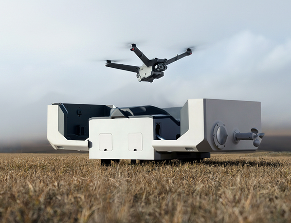
Img Solucoes Em Drone Dock 1
Img Solucoes Em Drone Dock 2

What We Deliver

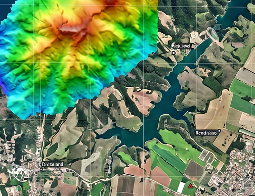
The data generated by Drone Dock consists of time series of georeferenced aerial images and up-to-date digital surface models, which allow for the comparison of the area’s condition over time with geometric precision. Changes in slopes, dams, tailings piles, mining fronts, or civil structures are systematically identified and documented, with traceability for regulatory and management purposes.

The files provided are compatible with the leading GIS systems and land management platforms used in the sector.

Advantages

Conventional drone monitoring requires team travel, on-site setup, and scheduling of each mission. With Drone Dock installed, aerial coverage becomes automated and systematic. Data is updated as frequently as the operation requires, without depending on staff availability or logistical access conditions. With operational autonomy and reduced dependence on these variables, productivity gains are achieved.

For remote areas, hard-to-reach locations, or environments with safety restrictions on human labor, this eliminates a significant operational barrier. Monitoring can take place even when sending a team into the field would be impractical or risky.

Continuous aerial monitoring without human intervention in the field

For which operations is the Drone Dock recommended?

Please contact us to assess the feasibility of implementing Drone Dock in your operation.

Transform Your Engineering Project

Shall we talk about the challenges of your project?

Solutions developed specifically for your project

We work with innovative technologies, guaranteeing the delivery of the perfect solution to meet your needs with excellence.

Quality

We value the quality of each of our services.

Responsibility

We are known for meeting agreed deadlines.

Innovation

We have state-of-the-art technology to carry out each service with the utmost precision and detail.

Solutions

Our solutions are designed to serve a wide range of sectors.

Mining

Mirante has been active in the mining industry for 25 years, with a presence in some of the country’s most demanding projects.

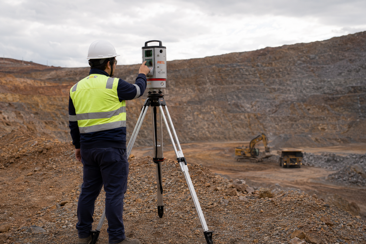
Our work ranges from mining planning to the monitoring of geotechnical structures, and from topographic surveying of construction projects to the geometric monitoring of critical structures. On all these fronts, we provide reliable technical expertise so that engineers, managers, and executives can make decisions with confidence.

Manufacturing and Steel Industry

Mirante operates in complex industrial environments, focusing on steelmaking, metallurgy, and heavy industry.

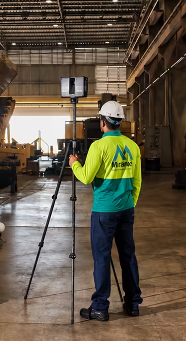
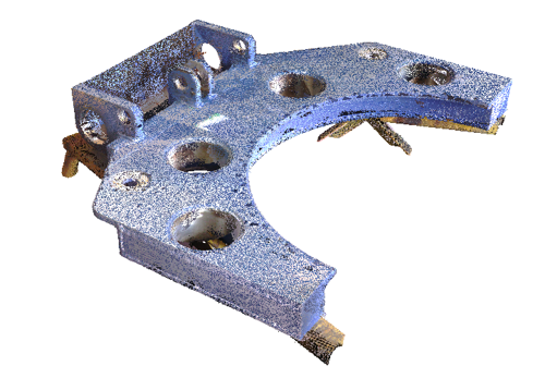
Our team is accustomed to the operational constraints of active plants: restricted access, hazardous conditions, and the need for efficiency without compromising data quality. We use 3D scanning, BIM modeling, and high-precision surveys to deliver reliable technical information even in the most challenging environments.

Oil and Gas

Mirante utilizes a suite of technologies and protocols suitable for critical industrial environments in the oil and gas sector.

From topographic surveys of industrial facilities to dimensional control of equipment and structures, as well as integrity monitoring and asset management, we deliver traceable solutions that support engineering, maintenance, and operational decisions with the precision the industry demands.

Energy

Mirante serves power generation, transmission, and distribution companies.

We have experience in surveys for permitting, monitoring critical structures, and inspecting construction projects. We understand the specific characteristics of each sector and the requirements of regulatory agencies. We deliver data that documents, monitors, and supports engineering decisions with traceable accuracy.

Infrastructure

Mirante carries out infrastructure projects using the same technical standards it applies in mining and heavy industry.

Our team is familiar with the requirements for construction projects subject to oversight by government agencies, the specific aspects of projects with external financing, and the document traceability requirements associated with large-scale contracts. We provide data that supports technical decisions, protects the contractor’s interests, and accurately documents the construction project.

Agriculture

Mirante brings to agriculture the same technical expertise it applies in mining and heavy industry.

Our team conducts planimetric and aerial photogrammetric surveys of large areas, monitors rural geotechnical structures, and manages agricultural assets. We combine cutting-edge technology with field experience to deliver data that makes rural management more efficient and well-documented.

Companies that trust our solutions

See the results of our services up close

ChatGPT Image 20 de jul. de 2026 11 55 17
Controle Volumétrico Bimestral de Lavra com 70% de Ganho de Produtividade por Laser Scanner Terrestre

Access case
Imagem3

Levantamento Topobatimétrico Integrado com 65% de Ganho de Eficiência em Barragem de Rejeitos

Access case
img padrao cases mirante engenharia

184 km, 4 estados: LiDAR aéreo e Drone viabilizando o mapeamento ferroviário em terreno hostil

Access case

25 years of precision in highly complex environments.

Applied technical expertise and confidence in decision-making.