Ground Penetrating Radar is one of the most practical geophysical solutions for identifying underground interference with extreme accuracy.
The methodology consists of collecting underground data using a sensor that slides over the surface, making it possible to compile data on its positioning, depth and the composition of the material present underground, including any object that generates interference.


GPR (Ground Penetrating Radar) is widely used as a preliminary stage for excavations, engineering and geotechnical projects, the characterization of embankments and voids and the monitoring of dams. It is a non-destructive geophysical method required by the ANM (National Mining Agency) to check the stability of dams, as well as other applications. Previews of the results can be obtained in real time while the data is being collected.
The method can become even more efficient when combined with Pipe Locator. This method is used for investigations based on electrical and electromagnetic principles. This enables greater precision in identifying conductive objects such as metal pipes, reinforced concrete structures, electrical cables, optical fibers, gas pipes or oil pipelines.
It’s common to find buildings whose As-Built isn’t up to date or doesn’t even exist, especially at ground level.
It is not uncommon for construction sites to unexpectedly come up against structures such as galleries, water and gas pipelines, power lines, fiber optics, among other interferences.
Carrying out a construction project without an up-to-date As-Built is practically walking blindly, assuming safety risks for the workers involved, as well as the risk of waste, work stoppages and project revisions.
The investment of this prior GPR analysis supplemented by the Pipe Locator generates instant gains, especially when lives are involved. Imagine how much time and resources are lost if an excavation breaks a gas pipe or an optical fiber.
Carrying out excavations without prior knowledge is outdated and totally counterproductive.

Shall we talk? Tell us about your project challenges!
We work with innovative technologies, guaranteeing the delivery of the perfect solution to meet your needs with excellence.
We value the quality of each of our services.
We are known for meeting agreed deadlines.
We have state-of-the-art technology to carry out each service with the utmost precision and detail.
Our solutions are designed to serve a wide range of sectors.
At Mirante we apply the most advanced technologies in the search for the best results. Find out more about our services and how they can help industry operations.
At Mirante we apply the most advanced technologies in search of the best results. Find out more about our services and how they can help your infrastructure operations.
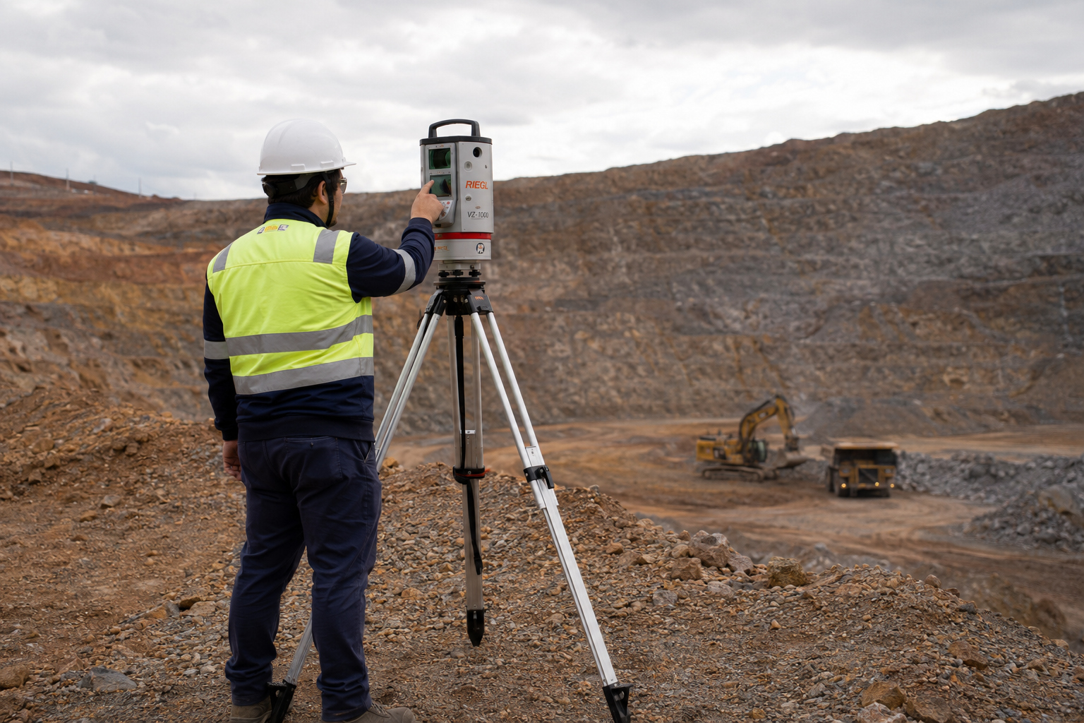
Mirante’s surveying services are the primary support for several mines in operation. We work to ensure that daily activities, whether OPEX or CAPEX, are technically feasible and carried out optimally. At Mirante we apply the most advanced technologies in the search for the best results.
At Mirante we apply the most advanced technologies in the search for the best results. Find out more about our services and how they can help your oil and gas operations.


Our portfolio is diversified in order to better serve the various phases of our clients’ projects. Find out more about our services.

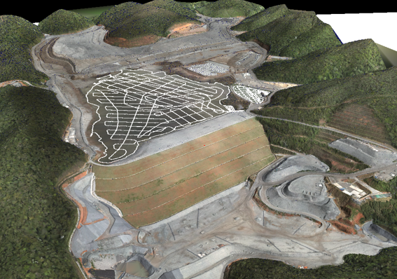
Take a look at the cases in which we have used topographical studies to help our clients achieve optimum results in their projects.
Rua São Domingos do Prata, 400
São Pedro, Belo Horizonte
Minas Gerais (MG) - Brazil - CEP 30.330-110
+55 (31) 3344-5050
Avenida Brg. Faria Lima, 1572
Sala 1022 - Ed. Barão de Rothschild
Jardim Paulistano, São Paulo
São Paulo (SP) - Brazil - CEP 01.451-917
+55 (11) 2110-6946
Avenida Marechal Câmara, 160
Sala 1107 - Edifício Orly
Centro, Rio de Janeiro
Rio de Janeiro (RJ) - Brazil - CEP 20.020-080
+55 (21) 3400-2404